 |
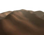
It is also possible to use terrain data from the National Geographical Institute maps. |
 |
 |
 |

|

|
|
|
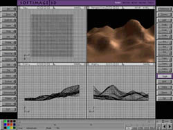
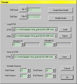
Main terrain window You can set the number of cells and the size of the terrain. You can also import terrain images from this window. |
|
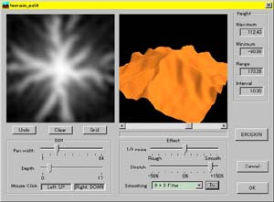
Terrain editing window You alter features such as the height above sea level, the smoothness and jaggedness of the terrain. |
|
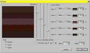
Terrain erosion window The erosion simulation takes account of water flows and strata types . |
| Top | Trees | Plants | Terrain | Forests | Grasslands | DL Studio | System requirements | News Releases |